
Thames Weather Forecast and the Best Time to Visit in NZ
Thames weather is mild all year. Summer days average 24 to 25°C in January and February, winter days about 15°C, and the town gets around 1,140 mm of rain a year. June to August is the wettest stretch, and July the wettest month. The weather forecast below shows today and the next six days in Thames, followed by monthly averages from NIWA records for the Thames climate station and a season-by-season guide to the best time to visit.
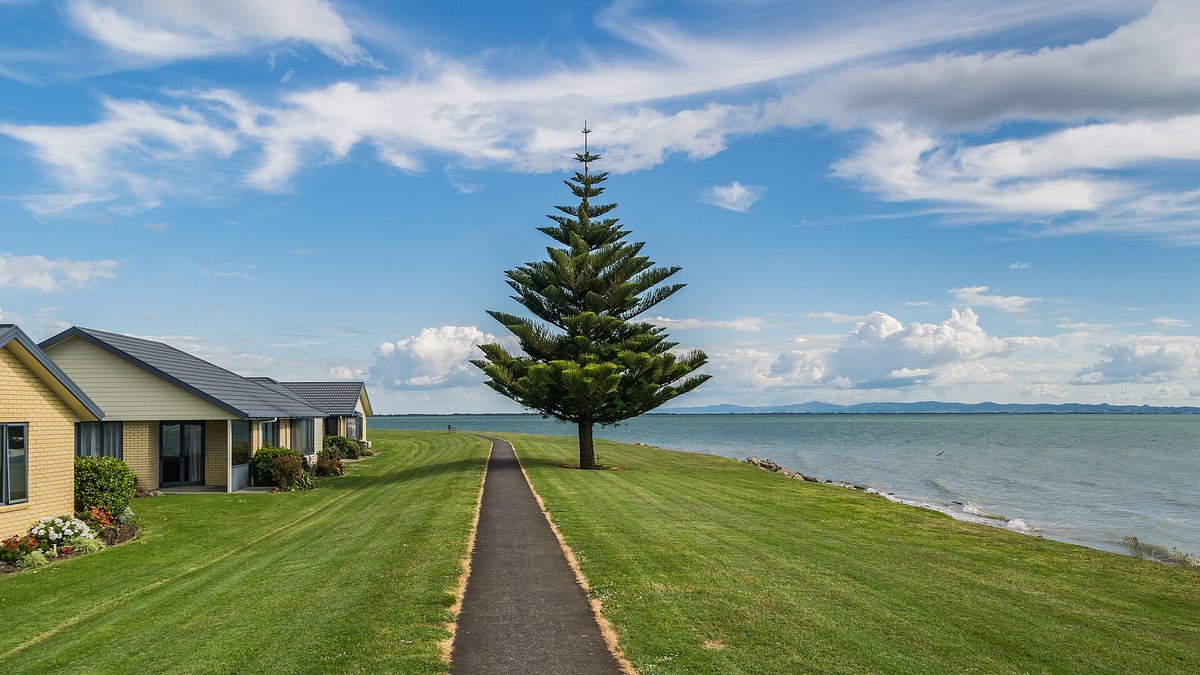

Thames weather forecast: today and the next 7 days
| Day | Weather | High | Low | Rain | Wind |
|---|---|---|---|---|---|
| Loading the Thames forecast. If it does not appear, see the MetService forecast for Thames. | |||||
Forecast: based on data from MET Norway, licensed under CC BY 4.0. Daily highs, lows, rain totals and peak wind are summarised by us from MET Norway's hourly and six-hourly forecast. Times are New Zealand time. For official alerts, check MetService weather warnings.
The table shows today's weather and the next six days for the Thames town location, using the latest forecast data from MET Norway's weather model, and the note above shows when that forecast was last updated. Each day's high, low and rain total cover the morning, afternoon, evening and overnight hours (for today, the hours still to come). Wind is the strongest wind speed forecast for that day, in km/h. For hourly detail, rain radar and severe weather warnings across New Zealand, use the MetService rain radar and town forecast.
What is the weather like in Thames, New Zealand?
Thames sits on the Firth of Thames at the foot of the Coromandel Peninsula, which NIWA notes shelters the firth. The climate is mild and fairly even: summer days are warm rather than hot, and winter days stay well above freezing. The gap between the day's high and the night's low is small, about 10°C in January and 8°C in winter, according to NIWA.
Rain changes a lot through the year. The Thames station records about 122 days a year with at least 1 mm of rain, ranging from 6 in February to 13 in each of June, July and August. The sunniest month is January, with about 217 hours of bright sunshine, and the year adds up to about 1,975 hours.
Thames weather by month: average temperature, rain and sunshine
| Month | Average high | Average low | Rainfall | Wet days (1 mm+) | Sunshine hours |
|---|---|---|---|---|---|
| Jan | 24.6°C | 14.6°C | 65 mm | 7 | 217 |
| Feb | 24.9°C | 15.0°C | 70 mm | 6 | 200 |
| Mar | 23.3°C | 13.2°C | 78 mm | 8 | 196 |
| Apr | 20.9°C | 11.4°C | 104 mm | 9 | 158 |
| May | 18.0°C | 9.2°C | 90 mm | 11 | 130 |
| Jun | 15.5°C | 7.3°C | 120 mm | 13 | 104 |
| Jul | 14.8°C | 6.5°C | 148 mm | 13 | 118 |
| Aug | 15.4°C | 7.2°C | 124 mm | 13 | 146 |
| Sep | 17.1°C | 8.6°C | 96 mm | 12 | 150 |
| Oct | 18.6°C | 10.0°C | 93 mm | 11 | 172 |
| Nov | 20.5°C | 11.3°C | 74 mm | 9 | 186 |
| Dec | 22.7°C | 13.6°C | 81 mm | 9 | 199 |
Rainfall and wet days: NIWA, The Climate and Weather of Waikato, Thames 2 station, 1981 to 2010 normals. Temperatures and sunshine: NIWA CliFlo normals for the Thames 2 station, 1991 to 2020, as compiled on Wikipedia.
Best time to visit Thames by season
The best time to visit Thames depends on what you want to do. For warm weather and the best chance of dry days, come between December and March. For walking in cooler air, spring and autumn work well. Winter is the wettest season, but days still average about 15°C.
Summer (December to February): warmest and driest
Summer has the warmest days, 22.7°C to 24.9°C on average, the most sunshine and the fewest wet days, with 6 to 9 a month. Rainfall is lowest in January, at about 65 mm. This is the season for the beaches near Thames, swimming, fishing and camping. Nights stay mild, about 13.6°C to 15°C on average.
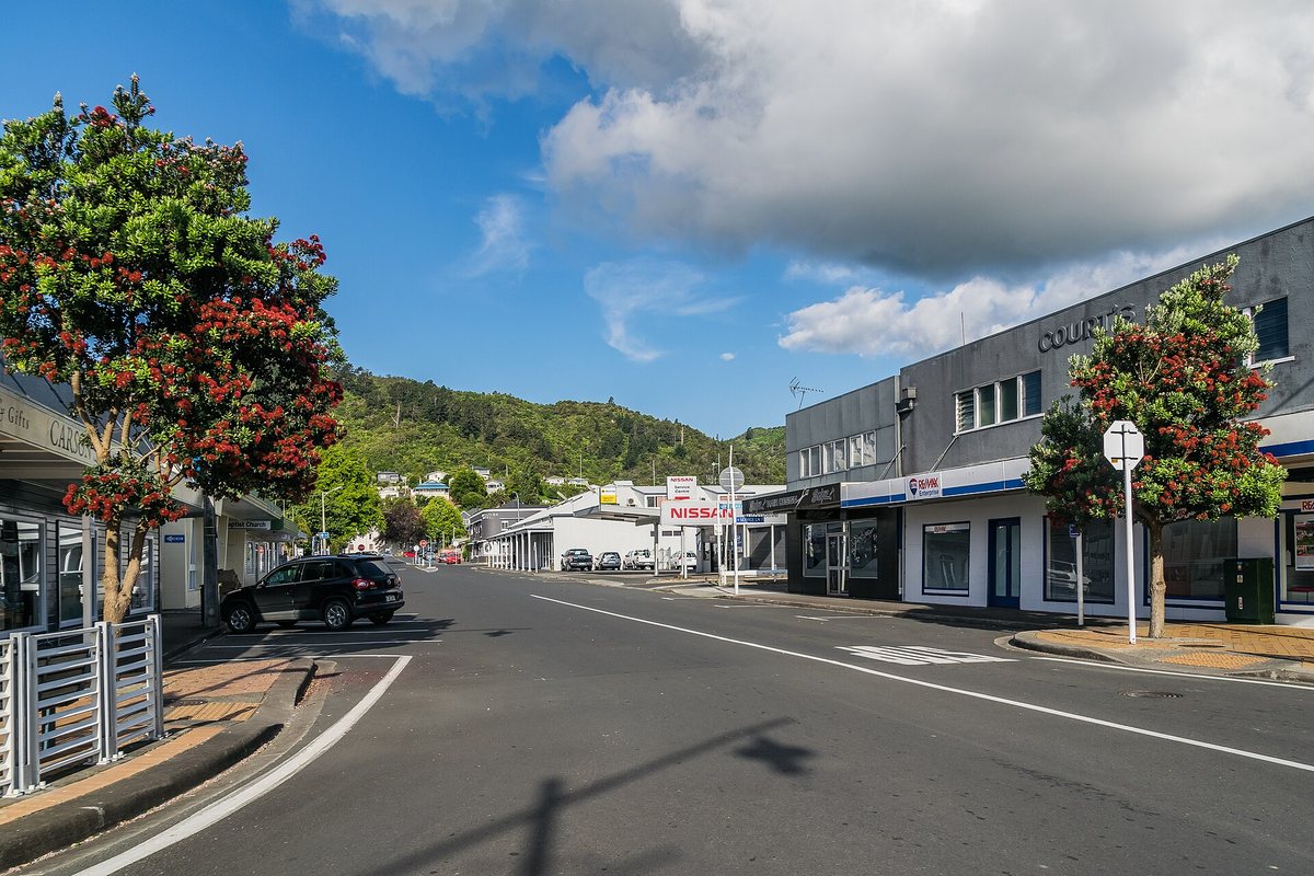

Autumn (March to May): settled start, wetter finish
March is still close to summer, with average highs of 23.3°C and about 78 mm of rain. April turns wetter, at around 104 mm, and by May days average 18°C. Cooler days suit longer walks such as the Pinnacles walk in the Kauaeranga Valley, and the shore is good for an easy stroll on the coastal walkway.
Winter (June to August): coolest and wettest
Winter is the wettest season. July averages 148 mm of rain over about 13 wet days, and June and August are not far behind. Days average 14.8°C to 15.5°C and nights 6.5°C to 7.3°C. The lowest temperature recorded at the Thames station is -2.5°C.
Heavy rain can close roads on the peninsula. NIWA's record of severe weather lists floods in April 1981, when Thames was badly inundated, and in February 1985, when heavy rain caused flooding and slips that closed all major roads on the Coromandel Peninsula. Before a tramp, check track conditions, which our walks and tracks guide covers. A wet winter day is a good one for the town's cafes and historic sites.
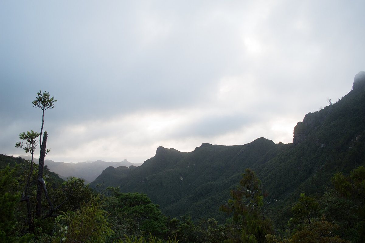

Spring (September to November): drying out, but windy
Rain eases through spring, from about 96 mm in September to 74 mm in November, and average highs climb from 17.1°C to 20.5°C. NIWA notes that spring is generally the windiest season across the Waikato region, so expect breezy days on the water. Check the wind as well as the Thames tide times before launching a boat.
When is the best time to visit Thames?
December to March is the best time to visit Thames for warm, settled weather. Those months have average highs of 22.7°C to 24.9°C, the most sunshine and only 6 to 9 wet days a month. For walking, choose spring or autumn, and pack a rain jacket from April to September.
How to plan a day around the weather
- Check the 7-day weather forecast at the top of this page for rain, wind and temperature.
- For anything on the water, line the forecast up with the tide table, since wind against the tide makes the firth rough.
- For bush walks, check track conditions after heavy rain.
- Keep a wet-weather backup in town, such as a museum or cafe.
For more ideas in any weather, see things to do in Thames, and if you are staying over, our guide to Thames accommodation.
Frequently asked questions
What is the weather like in Thames NZ?
Thames has a mild climate. Summer days average 24 to 25°C in January and February, and winter days about 15°C. The town gets about 1,140 mm of rain a year, with July the wettest month, according to NIWA records for the Thames climate station.
What is the warmest month in Thames?
February, by a small margin. The average daily high is 24.9°C in February and 24.6°C in January, with nights around 15°C. The hottest temperature on record at the Thames station is 30.5°C, in January.
What is the wettest month in Thames?
July. NIWA gives Thames an average of 148 mm of rain in July, about 13% of the year's total, falling on around 13 days with 1 mm or more. June and August are close behind, and January and February are the driest months.
When is the best time to visit Thames?
December to March has the warmest weather, the most sunshine and the fewest wet days, which suits beaches, fishing and camping. Spring and autumn are cooler and good for walking. Winter brings the most rain, but days still average about 15°C.
Does Thames get frosts?
Only light ones. On average the coldest night of the year at the Thames station is about -0.4°C, and the lowest temperature on record is -2.5°C. Winter nights usually sit around 6 to 7°C.
Where does the Thames weather forecast come from, and how often is it updated?
The 7-day weather forecast uses free open data from MET Norway, licensed under CC BY 4.0. Your browser loads the latest update when you open the page, and the note under the table shows when the forecast data was last updated. For hourly detail, rain radar and New Zealand weather warnings, check MetService.
Sources, checked 4 November 2026: NIWA, The Climate and Weather of Waikato (2nd edition, P.R. Chappell), Thames 2 station rainfall, wet days and temperature range, 1981 to 2010; NIWA CliFlo normals for the Thames 2 station, 1991 to 2020 (temperatures, sunshine and records), as compiled in Wikipedia's Thames article; forecast based on data from MET Norway, licensed under CC BY 4.0, summarised into daily figures by us; MetService for New Zealand forecasts and warnings.