
Pinnacles Walk: The Complete Guide from Thames
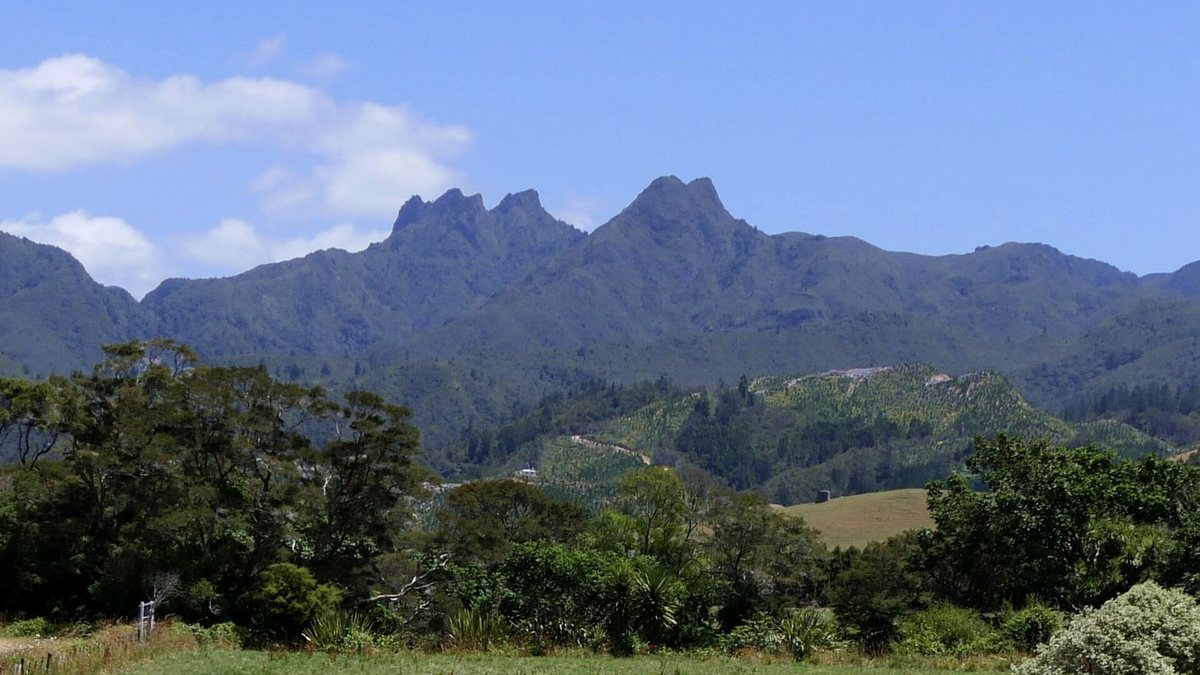
The Pinnacles walk climbs from the end of the Kauaeranga Valley Road, about 22 km from the southern edge of Thames, to the 759 m summit of the Pinnacles in the Coromandel Forest Park. The Department of Conservation (DOC) gives 2 hours 30 minutes to 3 hours to reach Pinnacles Hut, then 40 minutes more to the top. Most people either walk it in a long day or book a bunk at the hut and climb to the summit for sunrise.
Pinnacles walk at a glance
| Section | Time (one way) | Distance |
|---|---|---|
| Road end car park to Hydro Camp | 1 hr 30 min to 2 hr | 3.7 km |
| Road end car park to Pinnacles Hut | 2 hr 30 min to 3 hr | 6 km |
| Pinnacles Hut to the summit | 40 min | 1 km |
| Summit height | 759 m | |
Times and distances are from DOC's Kauaeranga Valley brochure. They are one way, so double them for the return trip.
How do you get to the start of the Pinnacles walk?
From State Highway 25 at the southern entrance to Thames, turn into Banks Street beside the service station. Banks Street becomes Parawai Road and then Kauaeranga Valley Road. After about 13 km you reach the Kauaeranga Visitor Centre, where the seal ends. The road continues for about 9 km of gravel to the Pinnacles Track car park at the road end.
Stop at the visitor centre for track updates and maps. DOC describes it as the main contact for track, hut and camping information, with 24-hour information panels on the veranda. For drive times to Thames itself, see getting to Thames.
What is the Pinnacles walk route?
The track follows the Kauaeranga Kauri Trail, built on routes used by kauri bushmen. The valley was logged heavily from the 1870s to the 1920s, and you walk past the evidence.
- Swing bridge and river. From the car park, cross the Kauaeranga River on the swing bridge and follow the river to Webb Creek.
- The packhorse route. Climb the historic packhorse track, steep in places, used in the 1920s to reach logging sites. Steps cut into the rock helped the packhorses. They can be slippery, so take care.
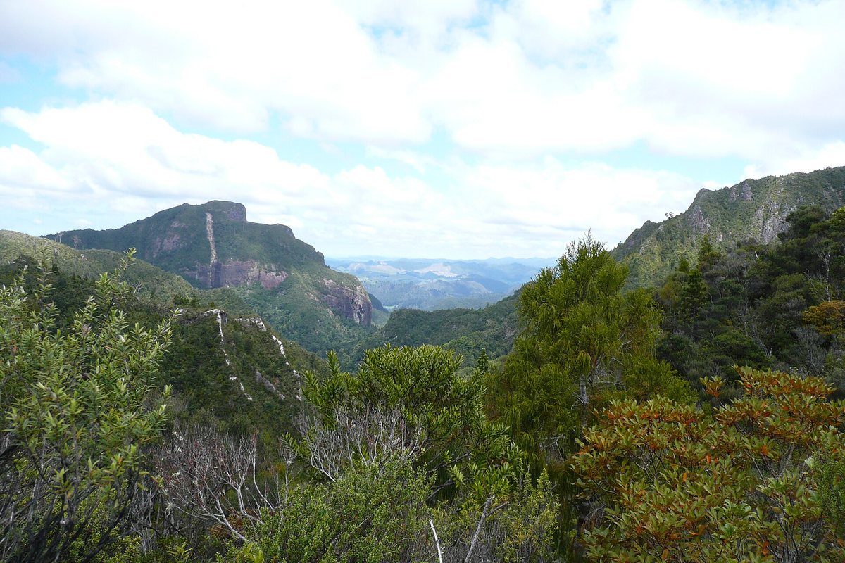
- Hydro Camp. At the junction 3.7 km in, the track to the hut climbs and sidles around a hill, then follows a more open ridge with views over the rugged volcanic landscape.
- Pinnacles Hut. The hut sits a short walk down a signposted side track.
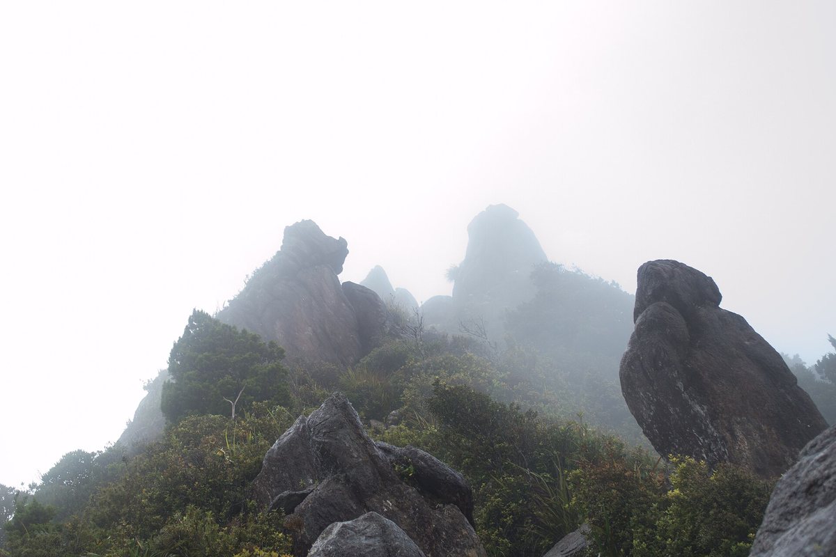
- The summit. From the hut, a steady 40-minute climb on a stepped path, steep in places, reaches the 759 m summit, with views across the bush, ranges and the eastern Coromandel coast. Take care at the top.
Should you stay at Pinnacles Hut?
Staying the night turns a long day into an easy one, and lets you reach the summit for sunrise or sunset. Pinnacles Hut is a serviced DOC hut with 80 bunks and a warden on site at all times.
- Booking: required online in advance. No spaces are kept for people who turn up without a booking. Same-day online bookings close at 8 pm.
- Times: check-in from 2 pm, check-out by 9 am.
- Facilities: gas cookers, a solid fuel burner, solar lighting, a barbecue and a cold shower.
- Water: DOC warns it is limited and not always available, so carry your own.
| Season (DOC) | Adult, weekday | Adult, weekend |
|---|---|---|
| 1 May to 30 September | $30 | $30 |
| 1 October to 30 April | $34 | $36 |
| 1 December to end of February | $38 | $40 |
Rates are per person per night and come from DOC's Pinnacles Hut page. Check the page before you book, as prices change each July.
What is the Dancing Camp Dam?
About five minutes down a track from the hut are the remains of the Dancing Camp Dam. Built in 1921, it was the second largest dam in the valley and was partly restored in 1994. DOC describes it as the only complete kauri dam remaining in Aotearoa. Loggers built dams like this to hold back water, then released it to flush logs down the river.
What should you know before you go?
- No dogs. Dogs are not allowed on the Kauaeranga Kauri Trail, the Pinnacles Track or at the hut.
- Limited phone coverage. DOC says coverage is limited past Hotoritori Campsite and only limited from the hut. Tell someone your plans.
- Rain changes things. Stream fords in the valley can be impassable after heavy rain, and the rock steps get slippery.
- Clean your gear. Clean footwear before and after to protect kauri from dieback.
- Pack for a tramp. Good boots, a rain jacket, warm layers, food and water. The summit is exposed.
Where can you camp near the Pinnacles walk?
Trestle View Campsite is the closest campsite to the Kauaeranga Kauri Trail. It has 20 sites, is open all year and has no vehicle access. Several road-accessible DOC campsites are further down the valley. Our guide to camping near Thames covers them, and where to stay in Thames lists beds in town.
Is there a shorter walk with similar views?
If the full climb is too much, the Billygoat Circuit (4 to 5 hours, 10.5 km) follows part of the same packhorse route and looks over the Billygoat Basin and the 180 m Billygoat Falls. For short walks and family options, see walks near Thames.
Frequently asked questions
How long does the Pinnacles walk take?
DOC gives 2 hours 30 minutes to 3 hours from the road end to Pinnacles Hut, then about 40 minutes from the hut to the 759 m summit. Allow roughly 6 to 7.5 hours return for a day trip, or stay overnight at the hut.
How hard is the Pinnacles walk?
It is a tramping track with steady climbs, steep sections and rock steps that can be slippery. It suits people with reasonable fitness and good footwear. The final climb from the hut is steep but on a well-built stepped path.
Do I need to book Pinnacles Hut?
Yes. The 80-bunk hut must be booked online in advance and no spaces are kept for walk-ins. Same-day bookings are available online until 8 pm if beds remain.
How much does Pinnacles Hut cost?
DOC lists adult rates of $30 a night from 1 May to 30 September, $34 on weekdays and $36 at weekends from 1 October to 30 April, and $38 and $40 in the peak season from 1 December to the end of February.
Can I take my dog on the Pinnacles walk?
No. Dogs are not allowed on the Kauaeranga Kauri Trail, the Pinnacles Track or at Pinnacles Hut.
Where does the Pinnacles walk start?
At the Pinnacles Track car park at the end of Kauaeranga Valley Road, about 9 km past the Kauaeranga Visitor Centre. The visitor centre is 13 km up the valley road from the southern edge of Thames.
Sources
Track conditions change. Check DOC alerts or ask at the Kauaeranga Visitor Centre before you set out.