
Getting to Thames NZ: Drive Times and Routes
Thames sits at the southwestern corner of the Coromandel Peninsula, about 115 km and 1 hour 30 minutes south-east of Auckland by road. It is the first town you reach on the peninsula and the point every other Coromandel destination is measured from: Thames to Coromandel Town is 54 km, Thames to Whitianga 93 km, and Thames to Whangamata 59 km. This guide covers how to get to Thames from the main centres, how far it is from Thames to the rest of the peninsula, and which road to take once you are here.
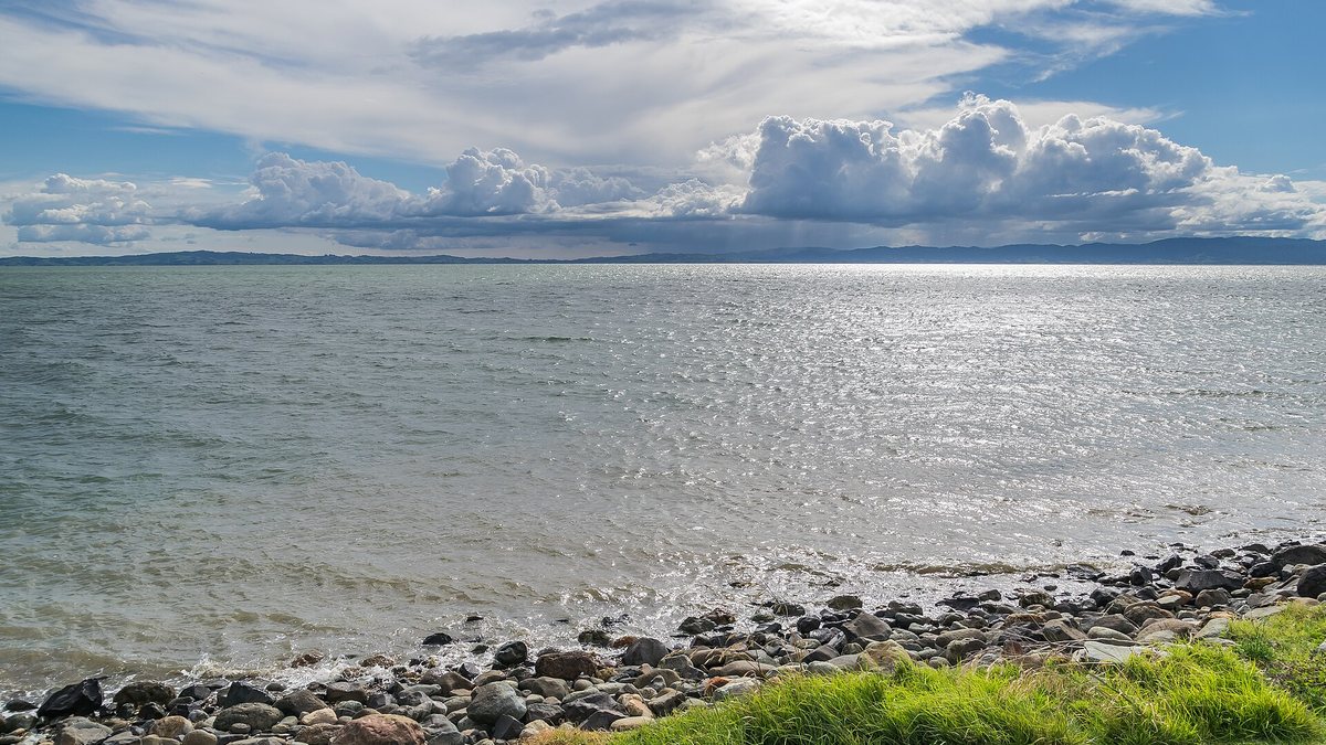
Where is Thames, New Zealand?
Thames is a town of about 7,200 people in the Waikato region, at the southwestern end of the Coromandel Peninsula on the Firth of Thames, close to the mouth of the Waihou River. It is the largest town in the Thames-Coromandel District and the main service centre for the peninsula, which is why so many visitors use it as a base. If you are planning a stay, start with our Thames visitor guide.
Two state highways meet just south of town at Kopu, roughly 5 km from the Thames town centre. State Highway 25 loops around the Coromandel Peninsula; State Highway 26 runs inland to Hamilton. A roundabout at Kopu links the two, and State Highway 25A, the road across the peninsula to the east coast, begins a few hundred metres away.
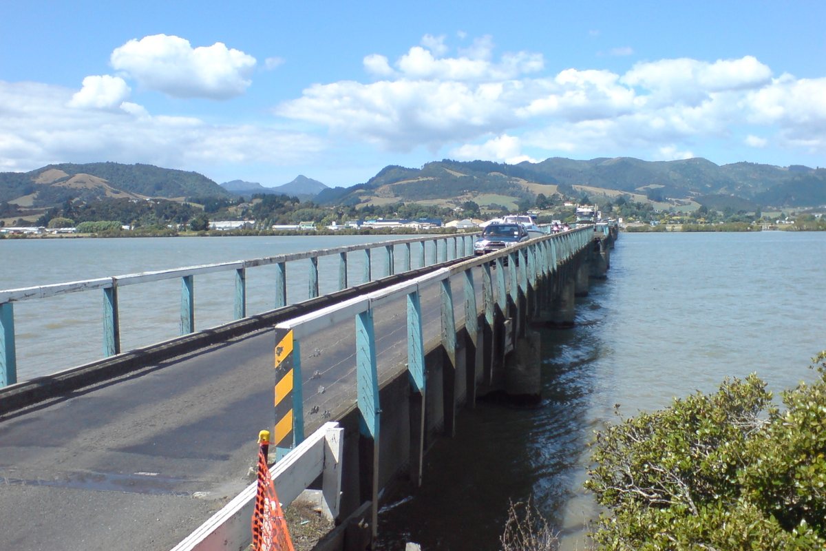
How do you get to Thames from Auckland?
The drive from central Auckland to Thames is 115 km and takes about 1 hour 30 minutes, according to the Thames-Coromandel District Council's published travel times. The route is straightforward:
- Head south from Auckland on State Highway 1 to Pokeno.
- Leave SH1 at Pokeno and take State Highway 2 east across the Hauraki Plains.
- Just north of Mangatarata, turn onto State Highway 25.
- Follow SH25 north through Kopu and into Thames.
There is no motorway past Pokeno, so allow the full time rather than assuming open-road averages. Traffic builds noticeably on Friday evenings and on long weekends, when most of Auckland appears to be heading the same way.
Driving to Thames from Hamilton, Tauranga and further south
From Hamilton, the direct route is State Highway 26, which runs 96 km from Ruakura on the city's eastern edge to Kopu, passing through Morrinsville, Te Aroha and Paeroa. Add the last few kilometres into town and it is a little over 100 km.
The council's travel-time table lists these distances to Thames:
| From | Distance | Driving time |
|---|---|---|
| Auckland | 115 km | 1 hr 30 min |
| Tauranga | 116 km | 2 hrs |
| Rotorua | 146 km | 2 hrs 40 min |
| Taupo | 206 km | 3 hrs 10 min |
| Napier | 349 km | 5 hrs 40 min |
| Paihia | 354 km | 6 hrs |
| Wellington | 586 km | 8 hrs 20 min |
Thames to Coromandel Town and the rest of the peninsula
Thames is the gateway to the Coromandel, so most peninsula distances are quoted from here. Thames to Coromandel Town is 54 km and takes about an hour on the coastal road. The full set of council figures:
| Thames to | Distance | Driving time |
|---|---|---|
| Paeroa | 33 km | 35 min |
| Tairua / Pauanui | 51 km | 1 hr |
| Coromandel Town | 54 km | 1 hr |
| Whangamata | 59 km | 1 hr |
| Colville | 85 km | 1 hr 30 min |
| Hot Water Beach | 86 km | 1 hr 30 min |
| Hahei | 92 km | 1 hr 30 min |
| Whitianga | 93 km | 1 hr 30 min |
| Ferry Landing | 95 km | 1 hr 35 min |
Those times assume a steady run with no stops, which is not how anyone actually drives the Coromandel. For a day-by-day version of these routes, see our Coromandel road trip guide.
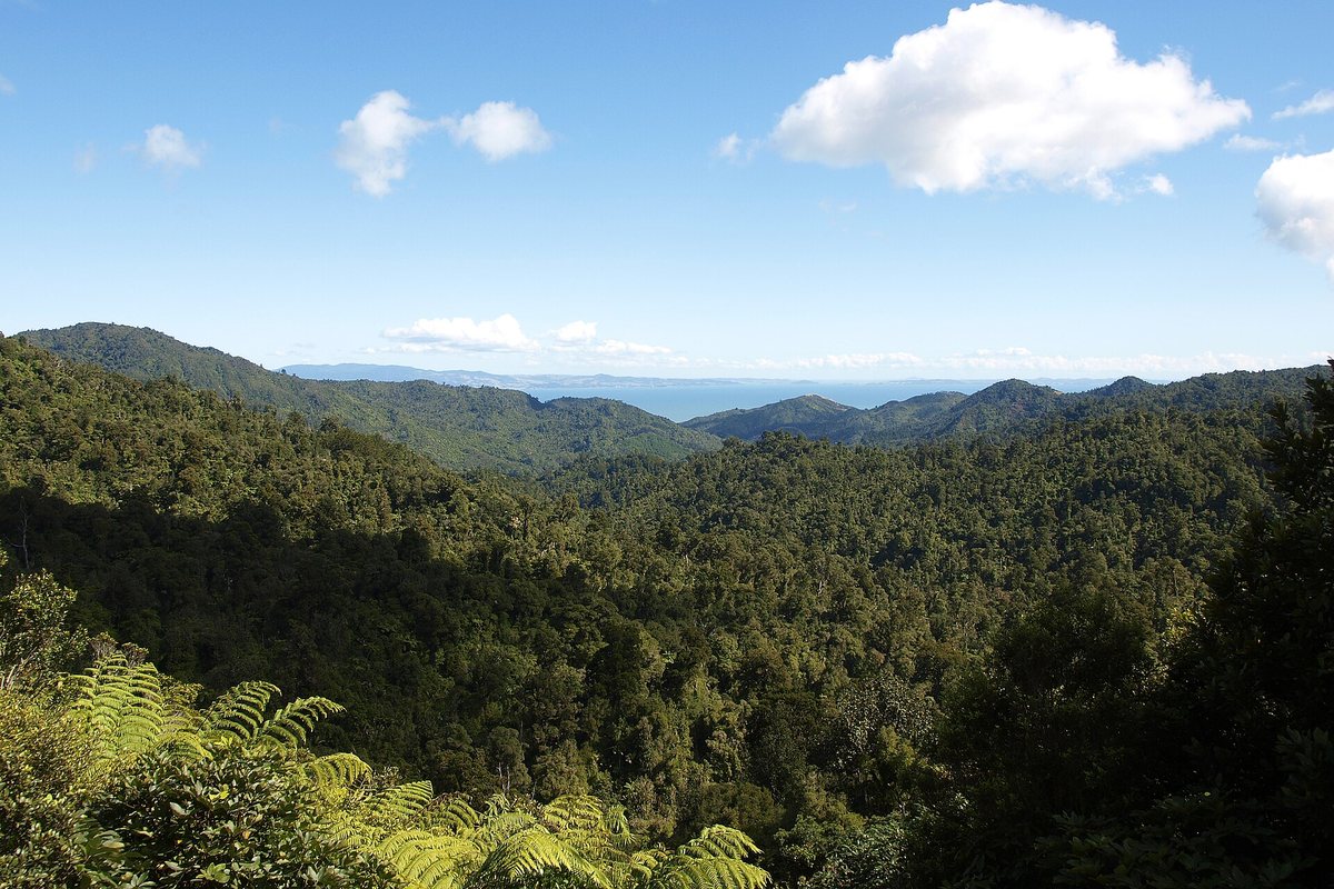
Which road should you take across the peninsula?
There are four ways over or around the Coromandel Range from Thames, and they are not equal.
- State Highway 25A (Kopu-Hikuai Road) is the fast route to Tairua, Pauanui and the southern east coast. A slip destroyed a section of it in January 2023; the replacement Taparahi bridge opened on 20 December 2023 and the road has been open since.
- State Highway 25 north follows the Firth of Thames coast through Te Puru, Waiomu and Tapu to Coromandel Town. It is the scenic option and the one most visitors take first.
- The 309 Road cuts between Coromandel Town and Whitianga in 32 km against 46 km on the highway, and is quicker despite a gravel section.
- Tapu-Coroglen Road crosses the range from the coast road to the east side. It is narrow, steep and unsuitable for large campervans.
Before any peninsula drive, check current road conditions on the NZTA Journey Planner. Slips and weather closures are common on these roads in winter.
Getting to Thames without a car
You can reach Thames by bus. InterCity runs daily services from Auckland, a journey of about 1 hour 40 minutes, and from Hamilton, about 2 hours. Buses arrive at the Thames Information Centre, 200 Mary Street, and connect onward to Coromandel Town, Whitianga, Tairua and other peninsula stops.
Go Kiwi Shuttles, a locally owned operator, also runs scheduled services between Auckland city and airport and the Coromandel, stopping at Thames along with Hikuai, Tairua, Hahei, Hot Water Beach and Whitianga.
Once you are here, Thames is compact and walkable, and the Hauraki Rail Trail starts in town if you would rather arrive or explore by bike.
Driving tips for the Coromandel
- Allow more time than the distance suggests. Peninsula roads are winding, narrow in places and hard to overtake on.
- Fill up in Thames. Fuel stops are sparse north of Coromandel Town and on the back roads.
- Slow down through the coastal settlements between Thames and Coromandel Town; the highway runs straight past people's front gates.
- Book accommodation ahead between December and February. See where to stay in Thames.
- If Hot Water Beach is on the list, check the tide before you set off, not after you arrive.
Make Thames your base
Because everything on the peninsula is within about 90 minutes, Thames works well as a base for day trips rather than a place you pass through. Walk the Kauaeranga Valley tracks in the morning, eat at the cafes and restaurants in town, and find local businesses and services in the Thames business directory.
Distances and driving times are from the Thames-Coromandel District Council's published travelling times and distances table. Bus times are from InterCity. Check current road status before you travel.
Frequently asked questions
How far is Thames from Auckland?
Thames is 115 km from Auckland and the drive takes about 1 hour 30 minutes, according to Thames-Coromandel District Council travel times. The route runs south on State Highway 1 to Pokeno, east on State Highway 2 across the Hauraki Plains, then north on State Highway 25 through Kopu into Thames.
How far is it from Thames to Coromandel Town?
Thames to Coromandel Town is 54 km and takes about one hour, following State Highway 25 north along the Firth of Thames coast through Te Puru, Waiomu and Tapu.
How long does it take to drive from Thames to Hot Water Beach?
Hot Water Beach is 86 km from Thames and the drive takes about 1 hour 30 minutes across the peninsula. Time your visit around low tide, because the hot pools only work for a couple of hours either side of it.
Where is Thames in New Zealand?
Thames is in the Waikato region at the southwestern end of the Coromandel Peninsula, on the Firth of Thames near the mouth of the Waihou River. It is the largest town in the Thames-Coromandel District, with a population of about 7,200.
Can you get to Thames by bus?
Yes. InterCity runs daily buses to Thames from Auckland, about 1 hour 40 minutes, and from Hamilton, about 2 hours. They arrive at the Thames Information Centre at 200 Mary Street, with onward connections around the Coromandel. Go Kiwi Shuttles also serves Thames from Auckland city and airport.
Is State Highway 25A open?
Yes. State Highway 25A, the Kopu-Hikuai Road across the peninsula, reopened on 20 December 2023 after the Taparahi bridge replaced the section lost to a slip in January 2023. Coromandel roads can still close for weather or slips, so check the NZTA Journey Planner before you drive.