
Thames Tides: Tide Times and Tide Tables
Thames tides turn four times on most days: two high tides and two low tides, about 12 hours 25 minutes apart. A typical high tide is around 3.5 m and a typical low tide around 1.0 m. The table below gives high and low tide times for Thames for today and the next six days, from official predictions by Toitū Te Whenua Land Information New Zealand (LINZ) for the Thames standard port on the Firth of Thames.
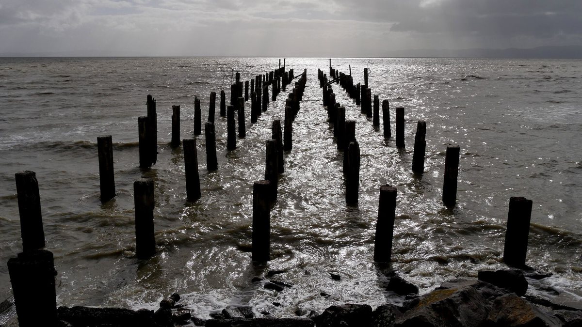

Thames tide times today and this week
| Day | High tide | Low tide |
|---|---|---|
| Sun 1 | 00:14 (3.7 m) 12:40 (3.8 m) | 06:15 (0.7 m) 18:54 (0.9 m) |
Times are New Zealand time, with daylight saving applied when it is in force. Heights are in metres. Today's row is highlighted.
How do tides work in Thames?
The Firth of Thames has two high tides and two low tides on most days. High tides come about 12 hours 25 minutes apart, so each one arrives roughly 50 minutes later than the day before. Between a high and the next low, the water rises or falls by 1.5 m to 3.7 m, about 2.6 m on average.
That swing changes through each fortnight. On days with a big range, highs are higher and lows are lower. Because the tides keep slipping later, 50 days in 2026 have only three tide turns: the fourth slips into the next day.
| Thames tide, 2026 | Height | When |
|---|---|---|
| Typical high tide | 3.5 m | Average of all highs |
| Typical low tide | 1.0 m | Average of all lows |
| Highest high tide | 4.1 m | 26 and 27 December, mid-morning |
| Lowest low tide | 0.4 m | 14 times in the year, including 26 to 28 November |
| Lowest high tide | 3.0 m | Seven times in the year |
| Highest low tide | 1.5 m | Three times in the year |
Thames tide table by month
Pick a month to see every high and low tide for Thames in 2026 and 2027.
| Day | High tide | Low tide |
|---|---|---|
| Sun 1 | 00:14 (3.7 m) 12:40 (3.8 m) | 06:15 (0.7 m) 18:54 (0.9 m) |
| Mon 2 | 01:10 (3.5 m) 13:39 (3.6 m) | 07:10 (0.8 m) 19:56 (1.0 m) |
| Tue 3 | 02:09 (3.4 m) 14:42 (3.6 m) | 08:12 (1.0 m) 21:01 (1.0 m) |
| Wed 4 | 03:12 (3.4 m) 15:46 (3.5 m) | 09:20 (1.1 m) 22:06 (1.0 m) |
| Thu 5 | 04:19 (3.3 m) 16:46 (3.5 m) | 10:30 (1.1 m) 23:06 (1.0 m) |
| Fri 6 | 05:25 (3.4 m) 17:42 (3.5 m) | 11:32 (1.1 m) |
| Sat 7 | 06:24 (3.5 m) 18:33 (3.6 m) | 00:01 (0.9 m) 12:24 (1.0 m) |
| Sun 8 | 07:15 (3.6 m) 19:20 (3.6 m) | 00:51 (0.9 m) 13:11 (1.0 m) |
| Mon 9 | 08:00 (3.6 m) 20:05 (3.5 m) | 01:37 (0.8 m) 13:54 (0.9 m) |
| Tue 10 | 08:42 (3.7 m) 20:49 (3.5 m) | 02:19 (0.8 m) 14:35 (0.9 m) |
| Wed 11 | 09:22 (3.7 m) 21:31 (3.5 m) | 02:59 (0.8 m) 15:16 (1.0 m) |
| Thu 12 | 10:01 (3.6 m) 22:12 (3.4 m) | 03:38 (0.8 m) 15:57 (1.0 m) |
| Fri 13 | 10:40 (3.6 m) 22:53 (3.4 m) | 04:16 (0.9 m) 16:38 (1.1 m) |
| Sat 14 | 11:19 (3.5 m) 23:34 (3.3 m) | 04:54 (0.9 m) 17:21 (1.1 m) |
| Sun 15 | 12:01 (3.4 m) | 05:33 (1.0 m) 18:05 (1.2 m) |
| Mon 16 | 00:15 (3.3 m) 12:45 (3.4 m) | 06:14 (1.1 m) 18:52 (1.2 m) |
| Tue 17 | 00:58 (3.2 m) 13:33 (3.3 m) | 06:58 (1.2 m) 19:40 (1.3 m) |
| Wed 18 | 01:44 (3.1 m) 14:22 (3.3 m) | 07:47 (1.3 m) 20:31 (1.3 m) |
| Thu 19 | 02:33 (3.1 m) 15:13 (3.3 m) | 08:43 (1.3 m) 21:23 (1.2 m) |
| Fri 20 | 03:27 (3.1 m) 16:04 (3.3 m) | 09:43 (1.3 m) 22:16 (1.2 m) |
| Sat 21 | 04:25 (3.2 m) 16:55 (3.4 m) | 10:43 (1.3 m) 23:10 (1.0 m) |
| Sun 22 | 05:25 (3.3 m) 17:46 (3.5 m) | 11:39 (1.1 m) |
| Mon 23 | 06:22 (3.5 m) 18:38 (3.6 m) | 00:04 (0.9 m) 12:31 (1.0 m) |
| Tue 24 | 07:16 (3.7 m) 19:32 (3.7 m) | 00:57 (0.7 m) 13:21 (0.9 m) |
| Wed 25 | 08:08 (3.8 m) 20:26 (3.8 m) | 01:48 (0.6 m) 14:12 (0.8 m) |
| Thu 26 | 08:58 (4.0 m) 21:20 (3.8 m) | 02:39 (0.4 m) 15:03 (0.7 m) |
| Fri 27 | 09:49 (4.0 m) 22:14 (3.8 m) | 03:29 (0.4 m) 15:56 (0.7 m) |
| Sat 28 | 10:40 (4.0 m) 23:08 (3.8 m) | 04:18 (0.4 m) 16:50 (0.7 m) |
| Sun 29 | 11:33 (4.0 m) | 05:09 (0.5 m) 17:45 (0.7 m) |
| Mon 30 | 00:02 (3.7 m) 12:27 (3.9 m) | 06:00 (0.6 m) 18:42 (0.8 m) |
Best tide times for boating and birdwatching
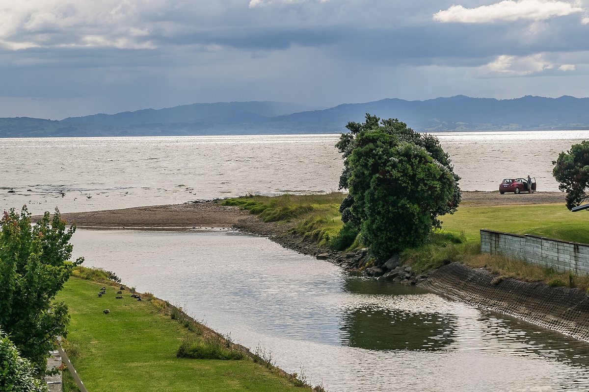

The tide decides when you can launch a boat, and when the shorebirds come close enough to see. These are the rules the local authorities give.
| Place | Best tide | Source |
|---|---|---|
| Tararū boat ramp, Thames Coast Road (SH25), beside the Thames Sailing Club | Launch two hours either side of high tide. Boats up to 5 m, no fees | Thames-Coromandel District Council |
| Kōpū boat ramp, King Street off Quay Street | About 1 m of water at low tide, except during spring tides. Watch for rocks at low tide. Launching and parking fees apply | Thames-Coromandel District Council |
| Pūkorokoro Miranda Shorebird Centre bird hides | Within two hours either side of high tide | Pūkorokoro Miranda Shorebird Centre |
The council's boat ramp page also warns that wind blowing against the tide can create dangerous conditions off the west coast of the peninsula. Check the forecast as well as the tide table. For every ramp on the coast, plus catch limits and the local charter, see our guide to fishing in Thames.
For birds, the Shorebird Centre says the best viewing is within two hours of high tide, when the rising water pushes the flocks in from the mudflats. Our Miranda day trip guide covers the drive and the hides.
How to use the tide table for a day out
- Find your day in the 7-day table or the month table.
- Note the high tide time. For launching at Tararū or visiting the bird hides, plan to arrive within two hours of it.
- Check the wind forecast, because wind against the tide makes the water rough.
- Check daylight: the tide table runs around the clock, and some high tides fall at night.
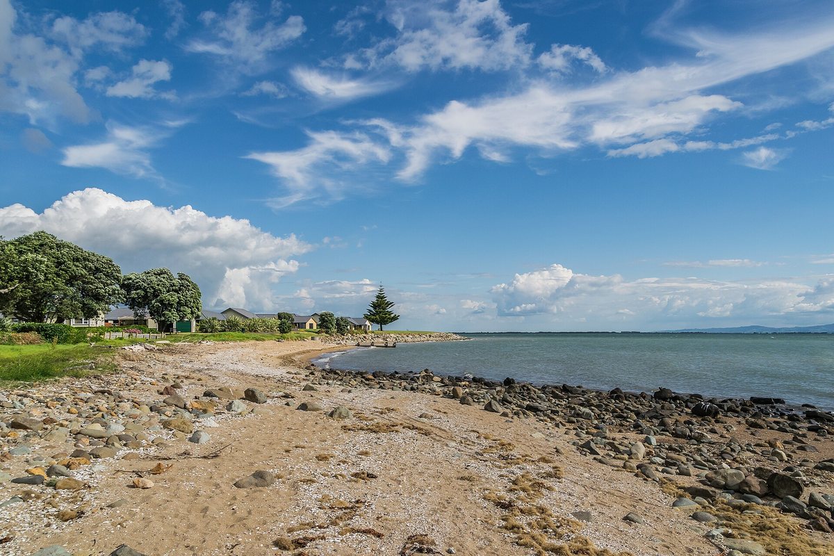

A walk along the Thames coastal walkway follows this shore. For swimming spots around the peninsula, see beaches near Thames, and if you are staying by the water, our camping near Thames guide lists the campgrounds. More ideas are in things to do in Thames.
Are these official Thames tide tables?
No. The times come from LINZ tide predictions for Thames, which LINZ says are not official tide tables as specified in Maritime Rules Part 25. Times are local, with daylight saving applied when it is in force.
Frequently asked questions
What time is high tide in Thames today?
Check the 7-day table at the top of this page. It picks today's date in New Zealand time and lists each high and low tide for Thames from LINZ predictions. Most days have two high tides, about 12 hours 25 minutes apart.
How high does the tide get in Thames?
A typical high tide at Thames is about 3.5 m and a typical low tide about 1.0 m, based on the LINZ predictions for 2026. The highest high tide predicted for 2026 is 4.1 m, on 26 and 27 December, and the lowest low tide is 0.4 m, which happens 14 times in the year.
Why are the tides later each day?
High tides at Thames come about 12 hours 25 minutes apart, so each tide falls roughly 50 minutes later than the same tide the day before. That is also why some days show only three tide turns: the fourth slips into the next day.
When is the best tide to launch a boat at Thames?
At the Tararū boat ramp, Thames-Coromandel District Council advises launching two hours either side of high tide. The Kōpū ramp usually has about 1 m of water at low tide, except during spring tides, and the council warns about rocks at low tide.
Are these official tide tables?
No. LINZ says its tide predictions are not official tide tables as specified in Maritime Rules Part 25. Use them for planning, and check the official tables and local conditions before you go out on the water.
Sources, checked 30 October 2026: LINZ tide predictions for Thames, 2026 and 2027; Thames-Coromandel District Council, West Coast boat ramps; Pūkorokoro Miranda Shorebird Centre visitor page. Averages and extremes calculated by us from the LINZ data. This work is based on Toitū Te Whenua Land Information New Zealand data which are licensed by Toitū Te Whenua Land Information New Zealand for re-use under the Creative Commons Attribution 4.0 International licence.